CPEX worked closely with residents from Bernard Terrace, Capital Heights, Valley Park, and Webb Park to calm traffic, improve connectivity and increase bike and pedestrian access.
This project was made possible by the generous support of our visionary CPEX membership. If you would like to support efforts like this in other Baton Rouge neighborhoods and communities, please consider becoming a member. To learn more about the Street Smart Neighborhood Plan, download our presentation.
October 24-26, 2014 ACTIVITIES:
A project inspired by FUTUREBR, and brought to you by:
Street Smart Demonstrations: October 24-26, 2014
1. Richland Ave. between Government St. and North Blvd.
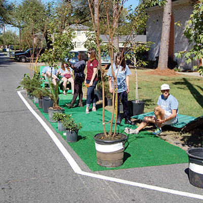
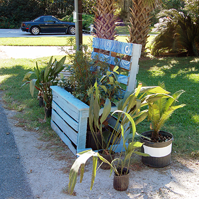
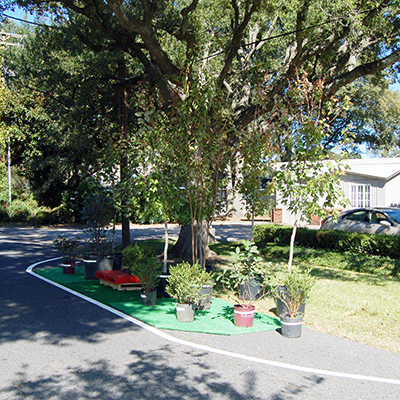
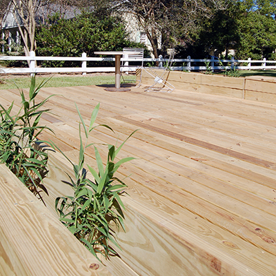
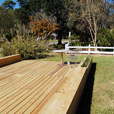
One-way traffic allowed for one travel lane alongside alternating street parking, park space, and planting areas designed to improve storm water drainage.
2. Capital Heights Ave. between Glenmore Ave. and Richland Ave.
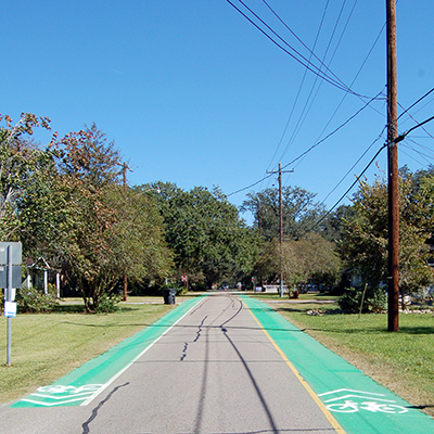
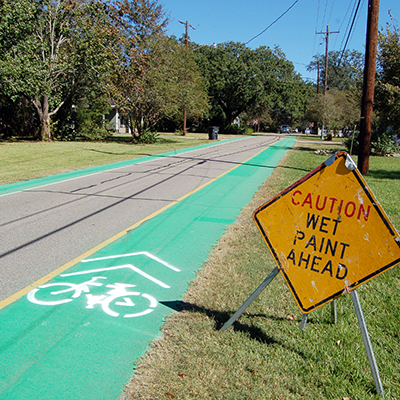
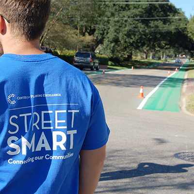
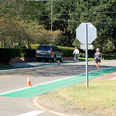
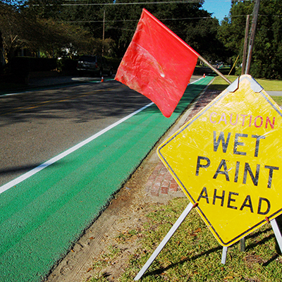
Existing bike lanes were painted green to improve visibility and safety for both cyclists and motorists.
3. Richland Ave. between Claycut Rd. and Capital Heights Ave.
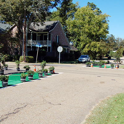
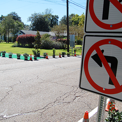
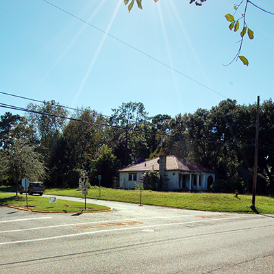
Partial road closures at the intersection of Richland and Claycut decreased cut-through traffic on Richland while maintaining two-way access for local traffic.
4. Richland Ave. between Claycut Rd. and Broussard St.
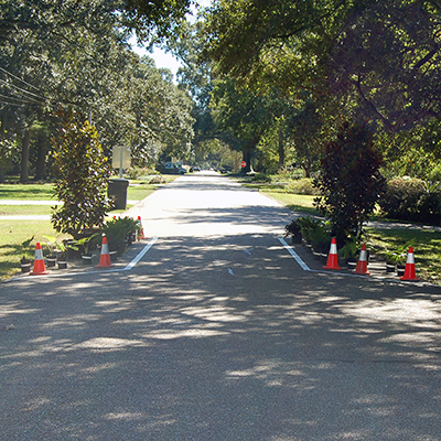
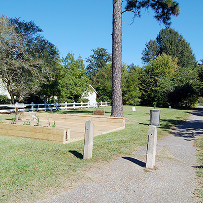
A traffic choker near the middle of the block narrowed the street for a short distance to slow traffic and provided areas for plantings that improved storm water drainage.
5. Broussard Ave. between Glenmore Ave. and Country Club Dr.
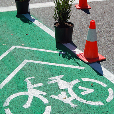
Green bike lanes on both sides of the street improved safety and access for cyclists.
6. Claycut Rd. between Moore St. and Country Club Dr.
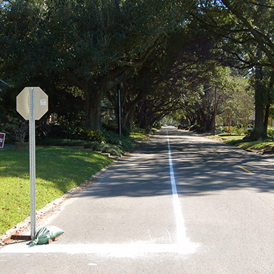
A crosswalk at the intersection of Claycut and Moore, as well as a sidewalk along Claycut, provided improved access, connectivity, and safety for pedestrians.
7. Country Club Dr. alongside Webb Park
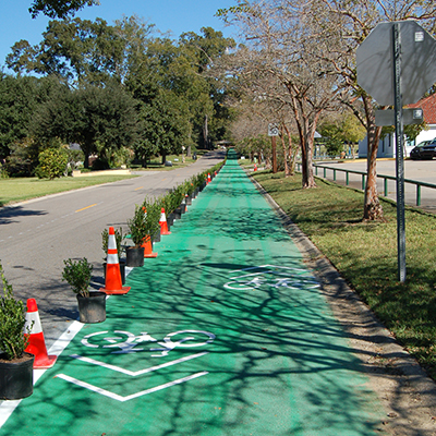
A two-way bike lane, separated from vehicular traffic by a strip of plantings, provided improved safety for cyclists.
8. Country Club Dr. between Broussard St. and neighborhood bike trail
A two-way bike lane connected to an existing bike trail, while also improving safety for cyclists.
9. Webb Park neighborhood bike trail
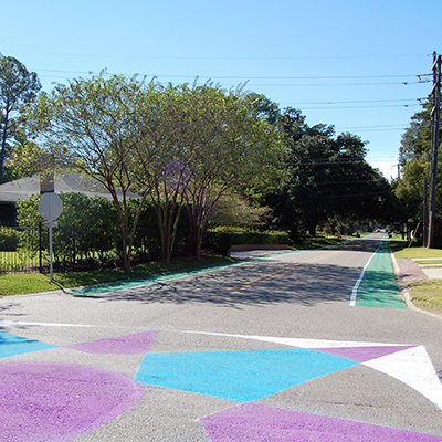
A trail head signaled the beginning of the trail, and traffic markings at intersections along the trail provided improved safety for cyclists, pedestrians, and motorists.
10. Valley Park bike route
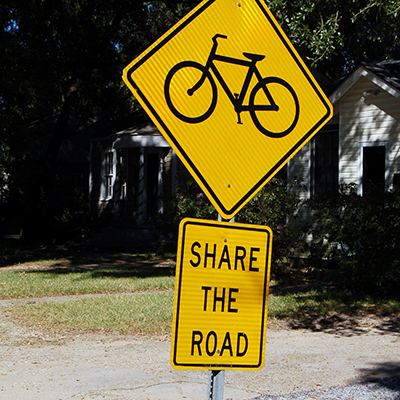
Sharrows and "Share the Road" signage along a frequently-traveled bike route improved safety and awareness for both cyclists and motorists.
11. Hundred Oaks Ave. at Steele Blvd., Richland Ave., and Glenmore Ave.
Crosswalks and signage at these intersections provided improved access and safety for pedestrians.


